")

 |
Stage 2017/16 [A059] | ||
| Morley Lake - Nisutlin Bay Bridge - Teslin - Teslin River Bridge - Johnsons Crossing (Alaska Highway 1) | |||
| ⇨ 58 mi / 94 km | |||
| ⇧ 790 Hm (garmin edge 1000) | |||
Cycling from Smithers, British Columbia to Whitehorse, Yukon.Stage from Morley Lake to Johnsons Crossing via Nisutlin Bay Bridge and Teslin River Bridge following the Alaska Highway. |
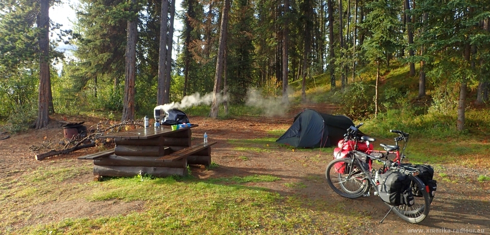 Last night we were the only campers staying at the shore of Lake Morley. I guess, other people prefer to stay away from this place due to the weather conditions at this time of the year: at the end of August it is quite cold here, in the morning the pannier bags are overfrozen. Hot tea and first rays of sunshine are keeping us alive. |
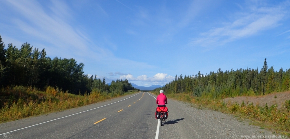 The night was cold but dry and as we return to the Alaska Highway we find out that the weather is meqaning well with us today. That was not always the case in the last days. Strictly speaking, it is the first friendly day since we left Yellowhead Highway atTerrace. |
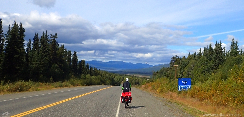 After 40 km we drive about 150 vertical meters downhill to the Nisulin Bay Bridge south of the village of Teslin. |
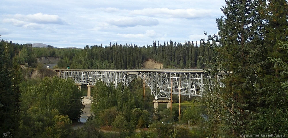
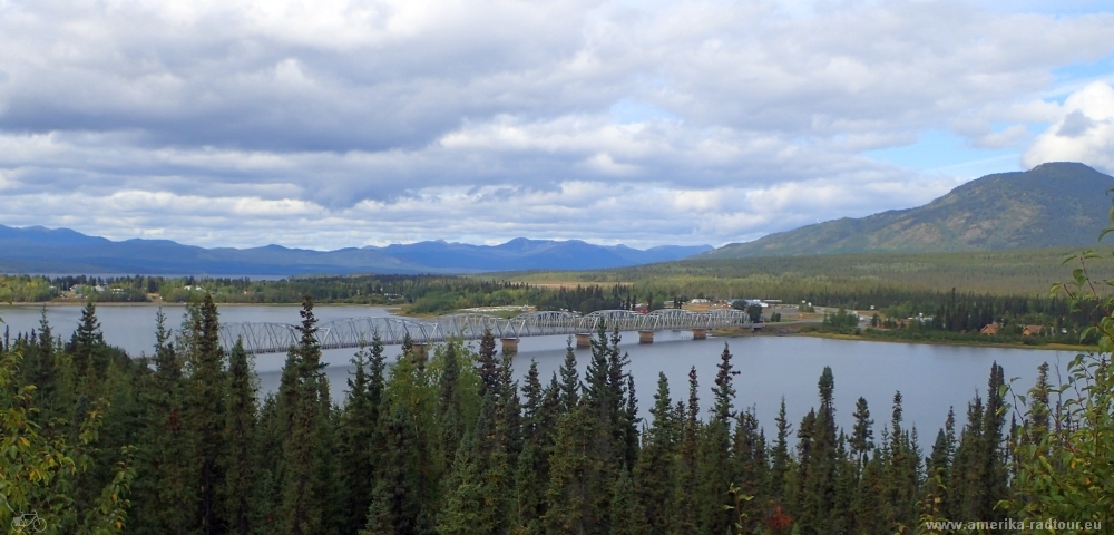 1 km south of the bridge there is a parking lot with a beautiful view of the bridge. With a length of 584 m / 1.917 feet the bridge is the longest one on the Alaska Highway. Not only the bridge, but also the place Teslin has an interesting history. Thus, to build the highway many locals First Nations belonging to the tribe of Tlingit were hired to use their knowledge of local terrain and manpower. Due to this job the workers began to settle down and stayed in Teslin for the winter season instead of following their traditional winter routes. Living together in confined spaces led to the spread of infectious diseases among the Tlingit that were previously unknown in the community, and to which a large number of Tlingit fell victim. |
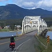
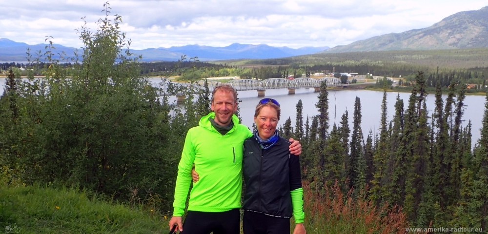 Selfie with bridge. Advice for those who ask for directions in this area: The Nisutlin Bay Bridge is named this way because it crosses the Nisutlin Bay. Although the bridge on the outskirts of Teslin is within sight of the Teslin River, this is not the Teslin River Bridge. The Teslin River Bridge lies not in Teslin, it is located further north. |
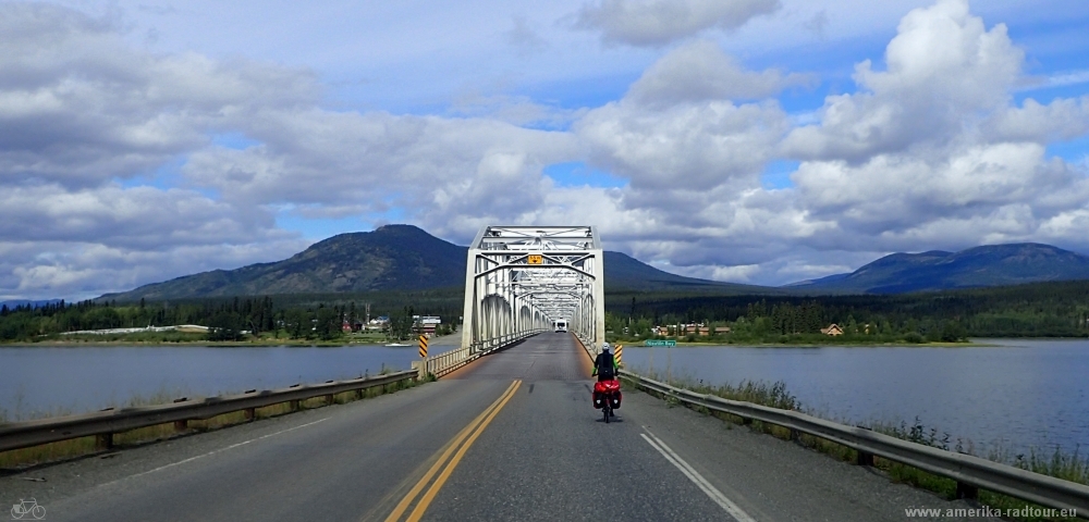 We carry on and ride over the bridge. Like other bridges we crossed on the Cassiar Highway, the Nisutlin Bay Bridge has a steel grate as a roadway and should be cycled with caution in wet conditions. |
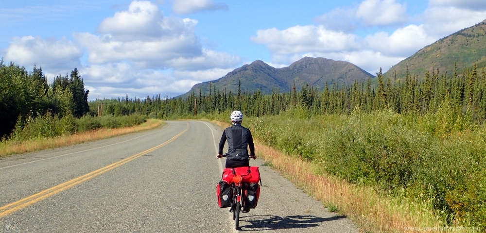 Rest of the day we follow the Alaska Highway northbound. One may not believe it, but the weather remains pleasant. |
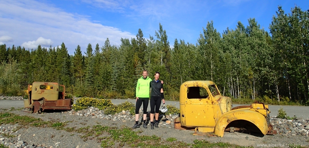 50 km north of Teslin, just before we reach the bridge over the Teslin River, we pass the junction for the Canol Road. The Canol Road (correctly called: Canadian American Norman Oil Road) and was built in World War II to allow the construction of an oil pipeline from Norman Wells to Whitehorse. Construction began in 1942, in 1944 the pipeline was completed and in 1945 it was put out of service. With a diameter of 4 inches / 10 cm, it's amazing that you could even pump crude oil through this line over 450 km. After the shutdown of the operation, the US operators have kindly left all their equipment in the landscape. |
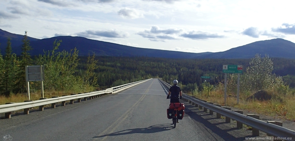 At Johnsons Crossing we drive over the Teslin River Bridge. With a length of 446.95 m / 1,466 feet, the 1944 opened bridge is after all the third longest on the Alaska Highway. In 2005, steel grating was replaced by an asphalt pavement. |
|
|